Urban neighbourhood classification and multi-scale heterogeneity analysis of Greater London
Tengfei Yu, Birgit S Sützl, Maarten van Reeuwijk
Environment and Planning B: Urban Analytics and City Science · 2022
Abstract
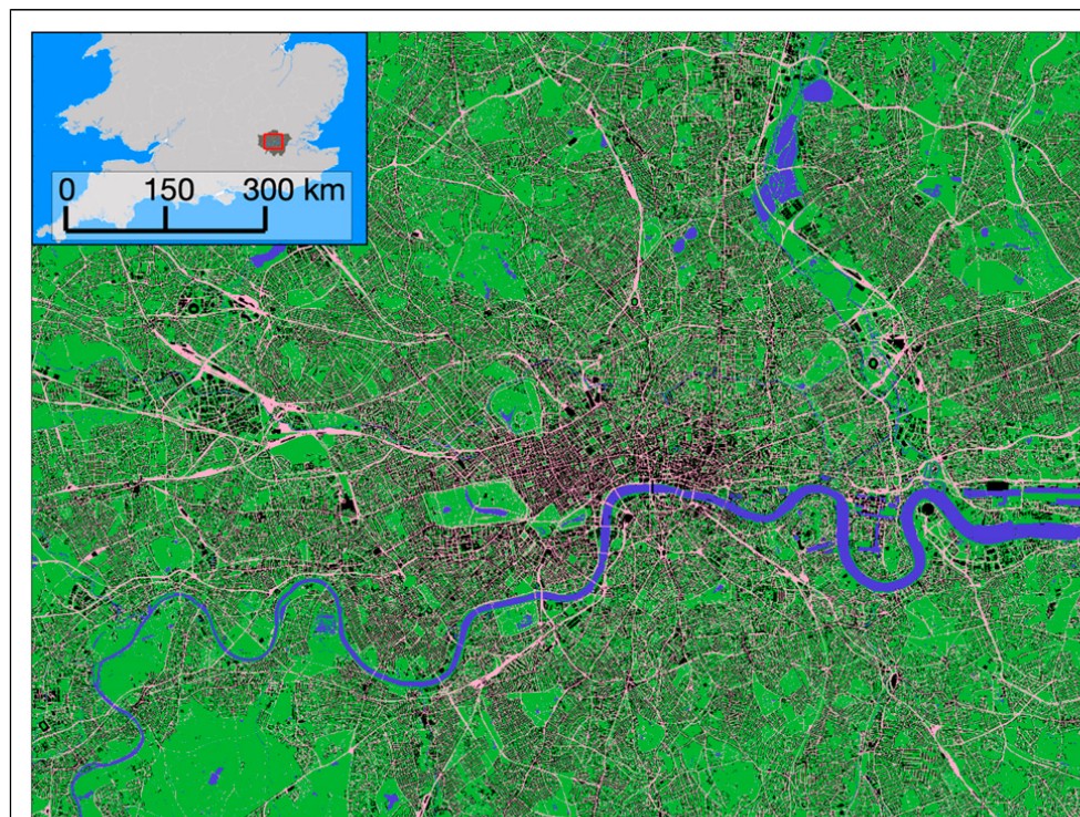
We study the compositional and con figurational heterogeneity of Greater London at the city- and neighbourhood-scale using Geographic Information System (GIS) data. Urban morphometric in- dicators are calculated including plan-area indices and fractal dimensions of land cover, frontal area index of buildings, evenness, and contagion. To distinguish between city-scale heterogeneity and neighbourhood-scale heterogeneity, the study area of 720 km 2 is divided into 1 × 1 km 2 neigh- bourhoods. City-scale heterogeneity is represented by categorisation of the neighbourhoods using a k-means clustering algorithm based on the morphometric indicators. This results in six neigh- bourhood types ranging from “greenspace” to “central business district ”. Neighbourhood-scale heterogeneity is quanti fied using a hierarchical multi-scale analysis for each neighbourhood type. The analysis reveals the dominant length scales for land-cover and neighbourhood types and the resolutions with the most information gain. We analyse multi-scale anisotropy and show that small- scale features are homogeneous, and that anisotropy is present at larger length scales.
Funding
- NE/W002868/1
Related projects
- ASSURE: Across-Scale processeS in URban Environments NE/W002868/1